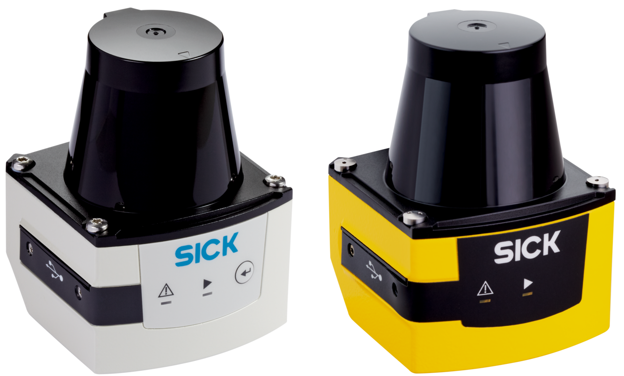
LiDAR Sensors
For decades, LiDAR detector technology has been used as an effective means of detection and ranging in various settings and industries. But what exactly is it and where did it come from? This page explains what the acronym LiDAR stands for and how this technology can be used effectively.
LiDAR technology has a number of advantages, like :
- High degree of accuracy
- High resolution
- Long detecting distance
These features make LiDAR scanner technology beneficial in a number of applications. The guide below will help you to select the LiDAR system that is perfect for your application.
Superior Distance & range detection

What is LiDAR?
LiDAR is an acronym, standing for LIght Detection And Ranging. It operates on a very well tested concept in the industry called time of flight. We know the speed of light through our atmosphere, so that means we can send a pulse of light, bounce it off a target, and measure the amount of time it takes to come back. By halving the total time and multiplying by the speed of light, we now know the distance to the target. This is the core of how LiDAR works.
To capture more data about the surrounding contours, you take the pulse of light and bounce it off a rotating mirror. As the laser rotates around, you get all these measurements in a fan around the LiDAR, which forms a flat plane of measurement. This plane of measurement can be stacked with subsequent planes (like a loaf of sliced bread) to create a three-dimensional map. This is called a point cloud.
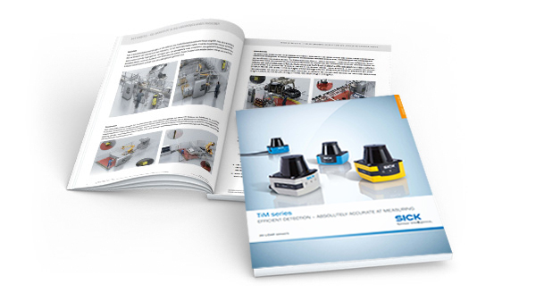
Download the LiDAR System Guide to discover:
- The latest 2D LiDAR sensor innovations within the TiM product family
- Innovative HDDM+ technology that enables measurement at long distances
- How to select the correct LiDAR sensor for your application
- Technical product specifications
Find the right LiDAR sensor for your application with the SICK TiM series LiDAR System Guide:
Related Videos
Learn the difference between HDDM and HDDM+ Technology
The new 3D and 2D LiDAR sensors MRS1000 and LMS1000 from SICK use the innovative measurement principle HDDM+.
In the video the differences between single pulse technology, HDDM technology and HDDM+ technology are explained.
For more information, visit
Learn about the LRS4000 2D LiDAR sensor
Become familiar with the LRS4000 2D LiDAR scanner! The LRS4000 is a durable and compact 2D sensor with high frequency resolution, maximum scanning frequency of up to 25 Hz, and maximum opening angle of up to 360 degrees.
Click here for more information:


